
Discover Sadus
Location and Landscape
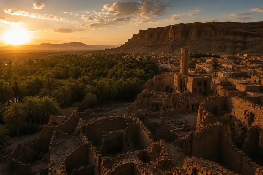
Sadus lies in Diriyah Governorate, Riyadh Region, about 70 km north-west of Riyadh, at the head of Wadi Watr some 626 metres above sea level, between the Tuwaiq escarpment to the west and the twin Abkain hills to the east.
In the heart of Najd
70 km north-west of Riyadh, at the head of Wadi Watr.
Sadus is one of the towns of Najd, about 70 km north-west of Riyadh, at latitude 24° 59′ N and longitude 46° 28′ E. It stands some 626 metres above sea level, an altitude that has a modest effect on its rainfall.
Sadus on the map
- north-west of Riyadh
- 70 km
- above sea level, approximately
- 626 m
- ravines, roughly, feeding Wadi Watr
- 20
- length of the Sadus dam on Al-Rakzah
- 520 m
A wadi and two hills
Topographically, Sadus lies at the head of Wadi Watr, which divides above the town into two branches: the larger, Al-Rakzah, on which the dam was built, and the other, Suwaisa. It is a large wadi fed by many ravines, among them Wadi Ghayanah with its ravine of Harqan, and Al-Rakzah, with some twenty tributaries in all. The village of Sulbukh lies at the lower end of the wadi, which is known today as Wadi Sulbukh.
Sadus is bounded to the west by the Tuwaiq escarpment and to the east by the twin Abkain hills, which give the town natural protection. Al-Hamdani described these hills: "Then you travel along the crest of Al-Arid... and you come to the village beyond the Abkain, two small horn-shaped hills."
On Al-Rakzah, the larger branch of the wadi, the Sadus dam was built in 1400 AH: 520 metres long, 7 metres high and able to hold 400,000 cubic metres, it raises the groundwater and slows the floods that would otherwise wash away the farmland.
Ancient neighbours
Several ancient settlements of Wadi Hanifah lie close to Sadus. One of the oldest is Huzwa, directly to the south, named after the Huzwa tribe, a branch of Banu Sadus. Sadus is also linked by settlement history to Huraymila, to its north-west.
Sadus was built on the banks of upper Wadi Watr, on a site that had been settled before, abandoned at unknown periods and later brought back to life. Historians and geographers mention forts and strongholds in the village, among them the old palace and Jawqa' Bani Sadus, a great fortress.
Why here?
Water, fertile soil, location and security.
The town owes its founding and revival to several factors, above all water, fertile soil, its location and security, and its people's ability to make good use of them. Floods from the ravines of Wadi Watr water the farms and recharge the groundwater, and the soil has played a major part in the town's agricultural and urban growth. Its central position in Najd, on an ancient overland road linking Al-Yamamah with Makkah on which Sadus was a notable stop, also shaped its development. Sadus is one of the most important archaeological sites still to preserve so many of its traditional building units and features.
- Address
- Sadus Historic Village, Diriyah Governorate, Riyadh Region, Saudi Arabia
- info@sadusksa.com
An easy drive from Riyadh, centuries of story
Plan your day in Sadus and the village team will contact you to confirm the date.