
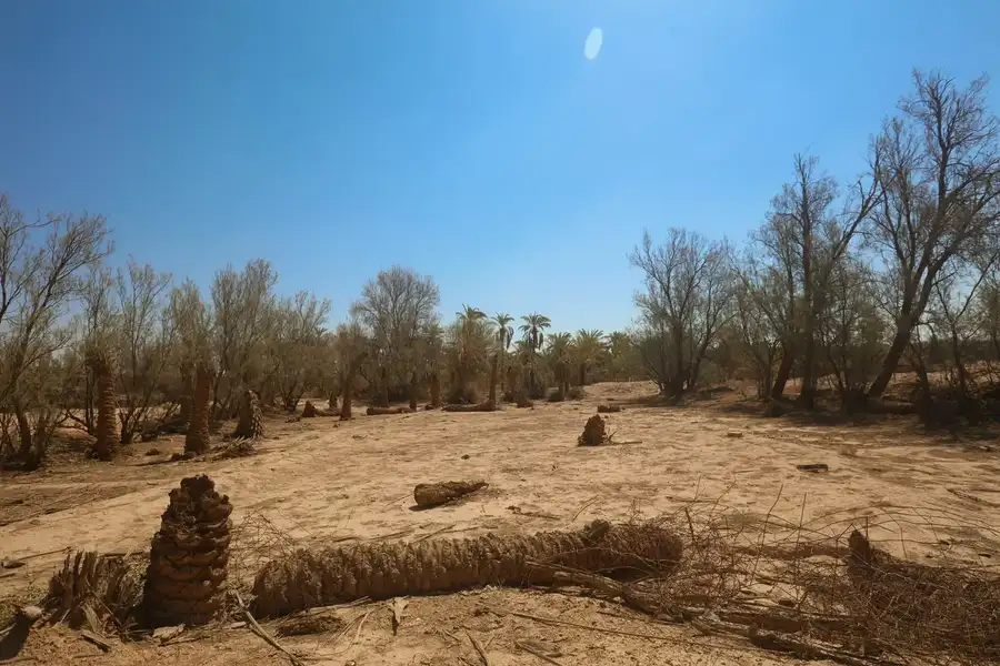
Wadi Watr
Sadus sits at the head of Wadi Watr, a large valley fed by many ravines. Among the most important are Wadi Ghayana, with Shaib Harqan, and Al-Rakzah, out of some twenty tributaries in all.
At the lower end of the valley lies the village of Sulbukh, which is why Wadi Watr is known today as Wadi Sulbukh.
The Sadus dam
The Sadus dam was built across Al-Rakzah in 1400 AH: 520 metres long, 7 metres high, holding up to 400,000 cubic metres of water.
It helps raise the water table and breaks the force of the floods that used to strip the farmland of its soil.
Water first
Water is one of the main reasons Sadus exists and grew. Floods from the ravines of Wadi Watr feed the farms, then refill the groundwater, and the valley's fertile alluvial soil did the rest.
At Al-Rakzah you see the story from its source: from ravine to dam to palm grove.
The dahl
Dahl Al-Rakzah takes its name from this tributary, and it is one of the natural landmarks the people of Sadus count as part of their story.
Caves call for care: do not go near alone, keep away from the edges, and simply look if no one with you knows the place.